20-1-scaled
In Planning

Solar and Energy Storage

Almholme Energy Hub

0.0MW
Solar Capacity
0MW
Storage Capacity
0,0
Homes Powered
0,0
Carbon Saved
0.0
Hectares of Land

Introduction

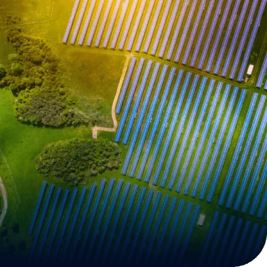
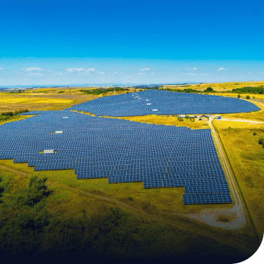
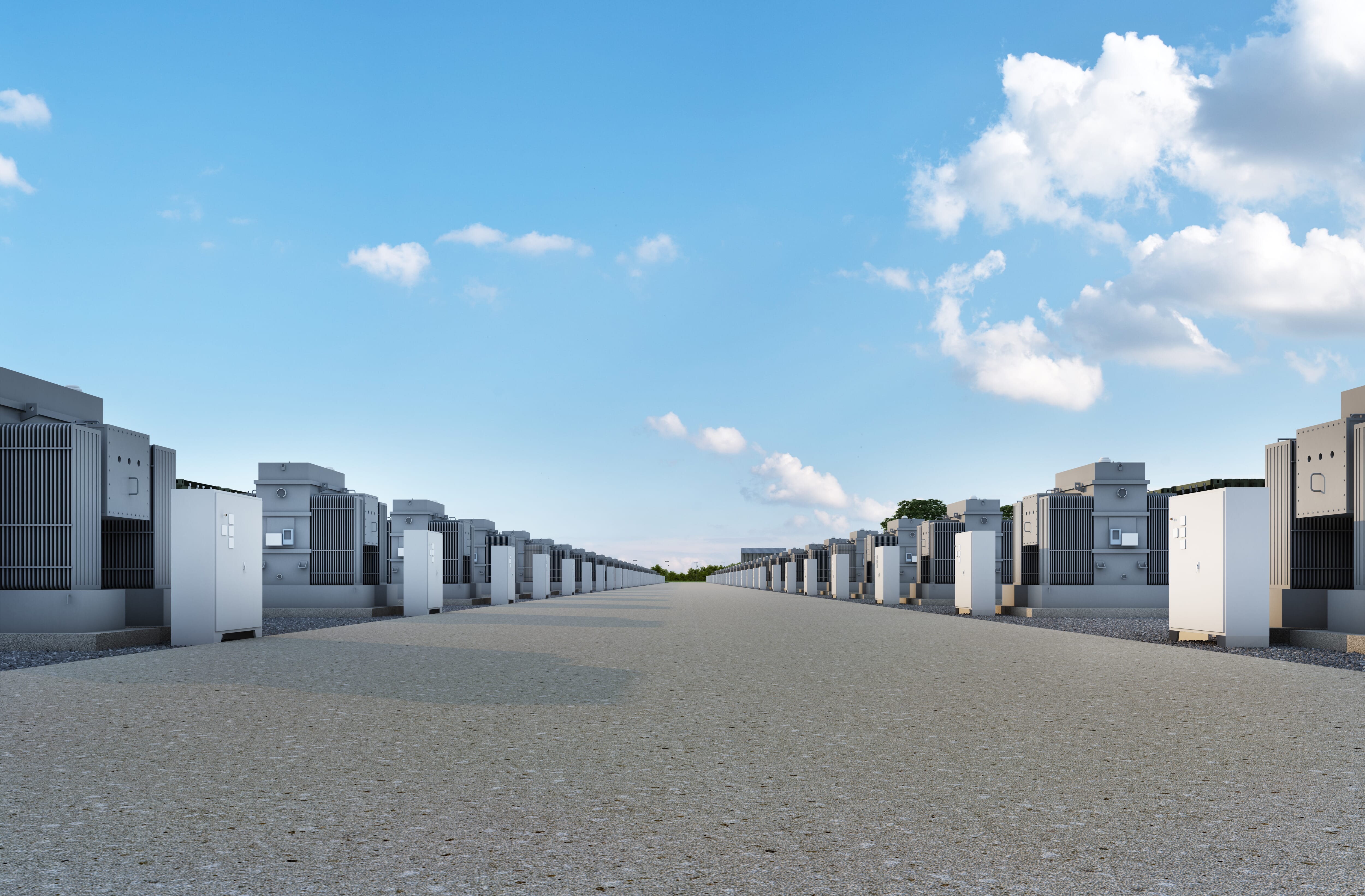
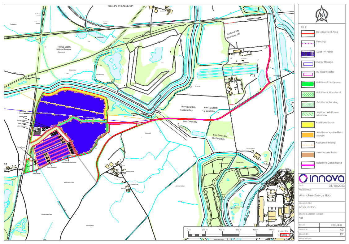
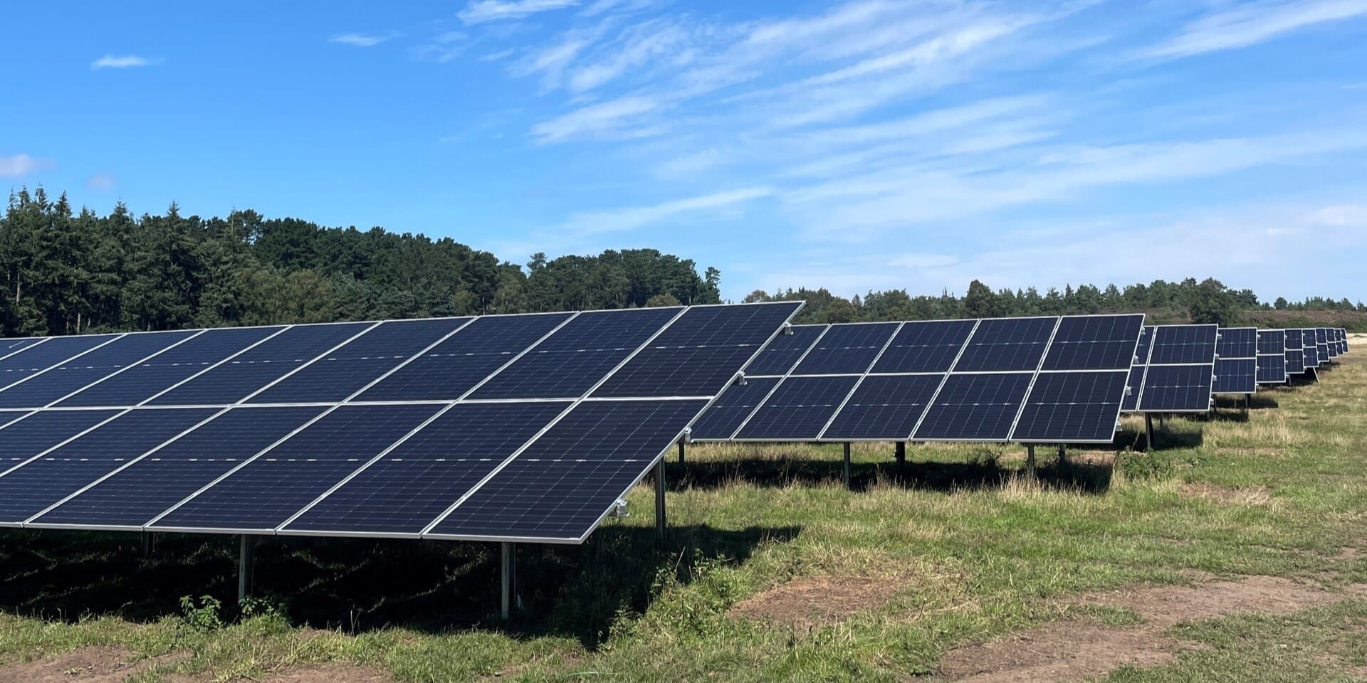
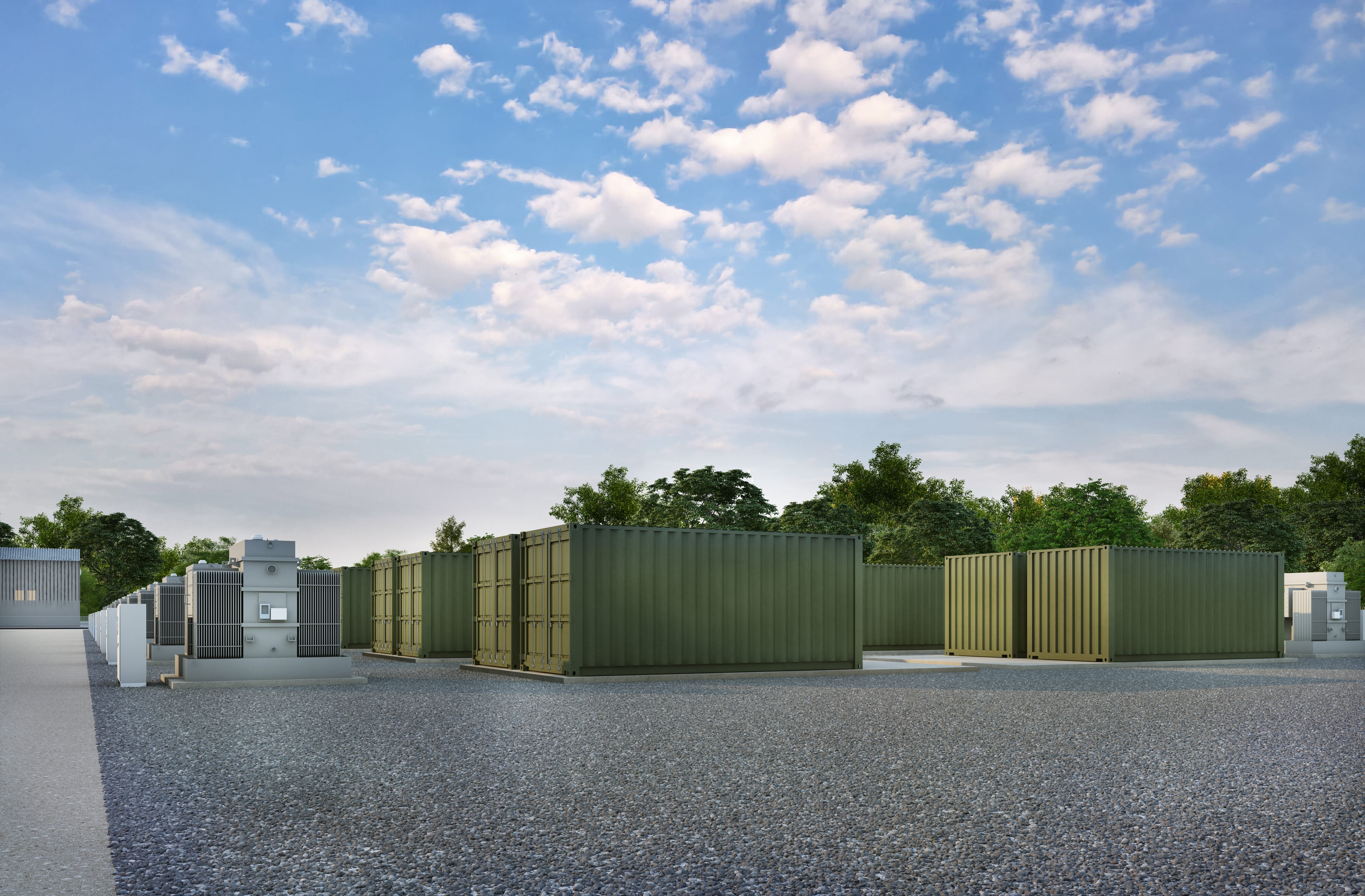
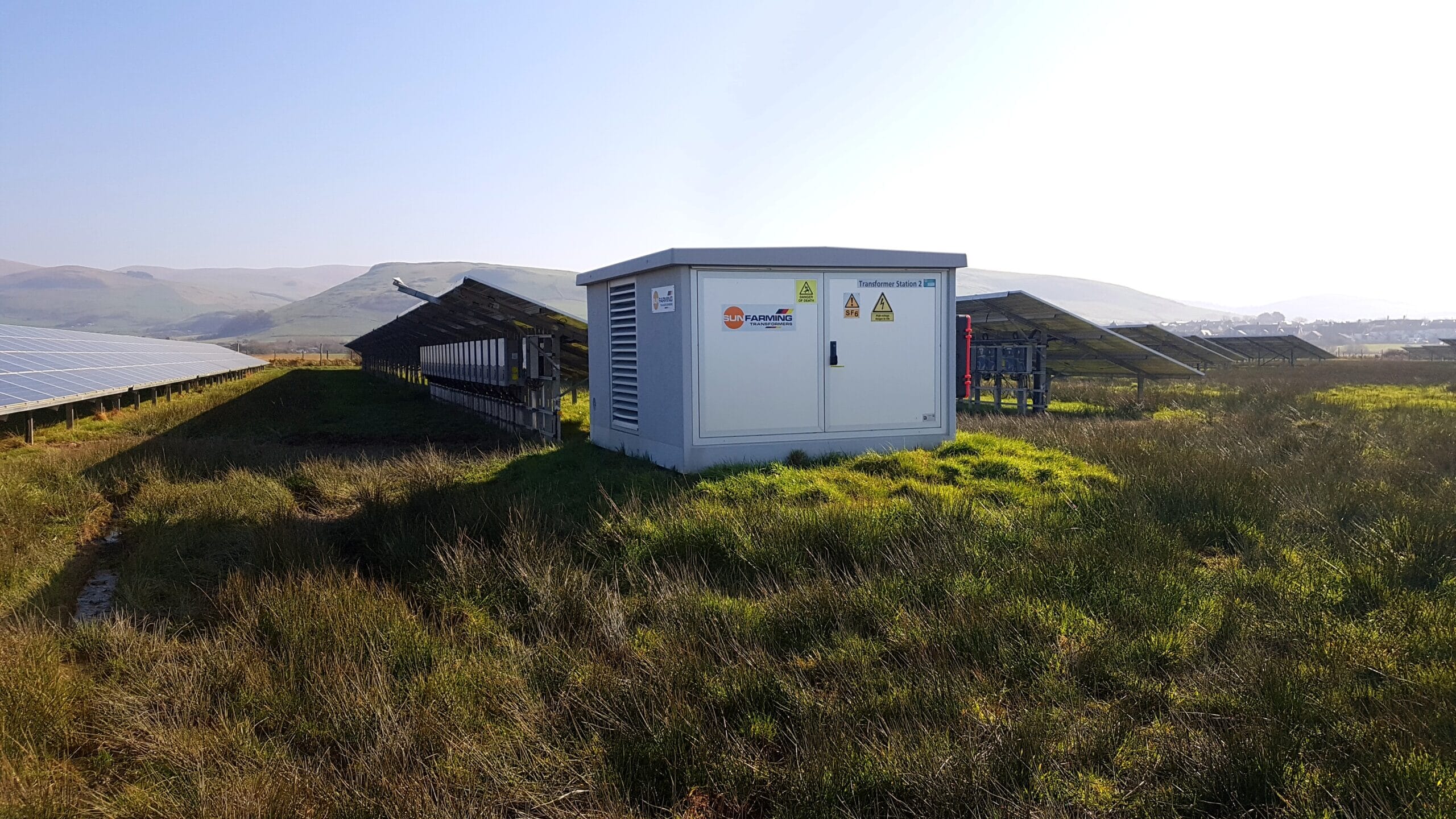
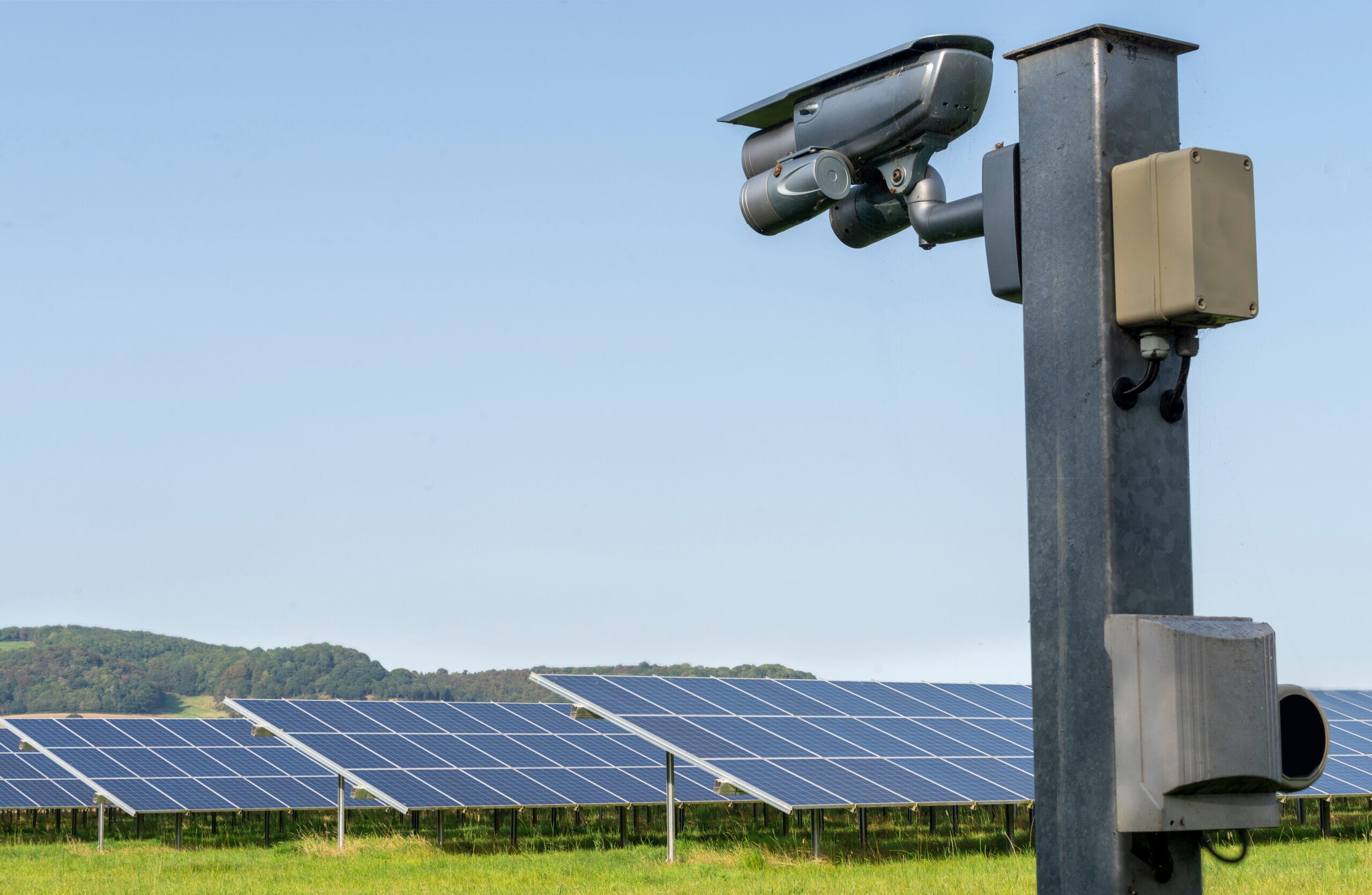
Welcome to the Almholme Energy Hub project. We are proposing a 1,025 megawatt (MW) Energy Storage System (ESS) and a 49.9MW Solar development on land at Almholme, Doncaster.

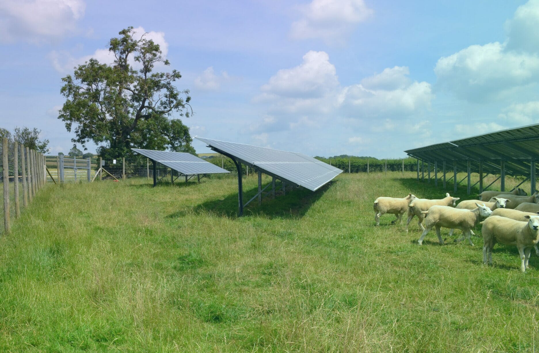
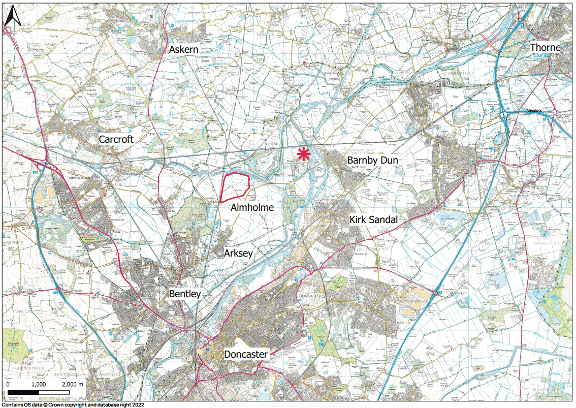
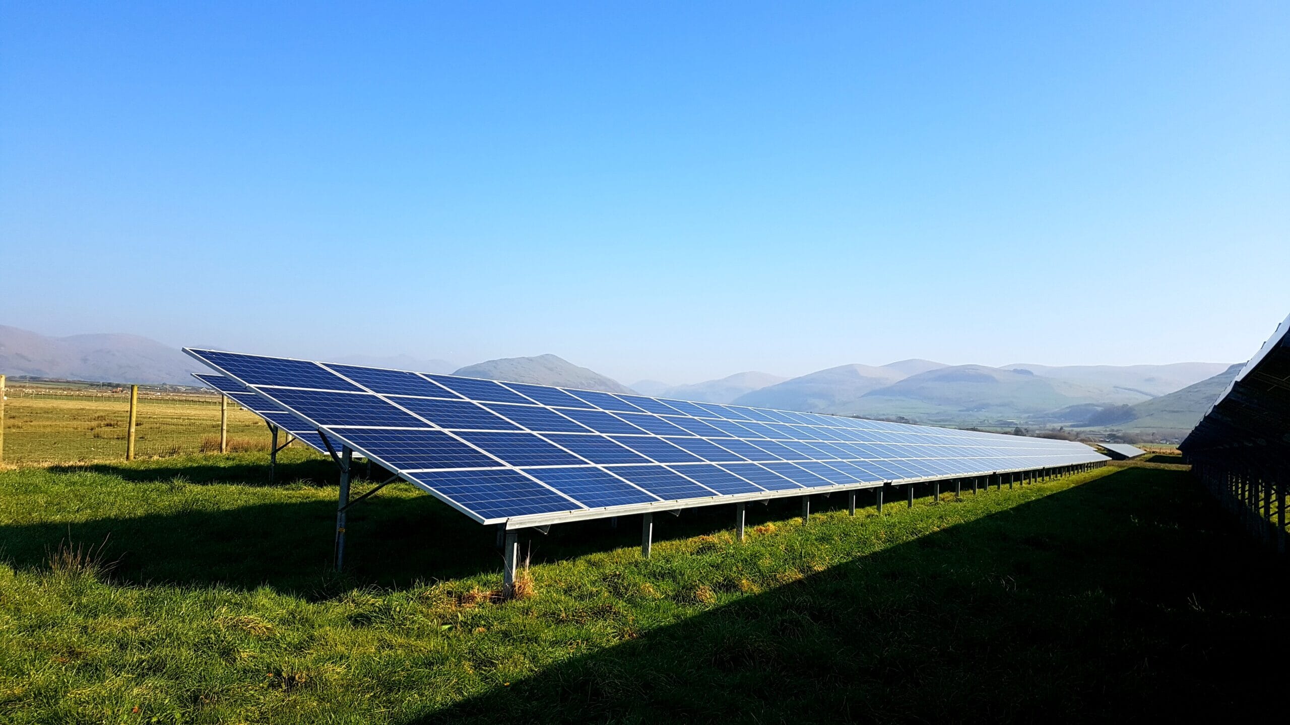
The development site covers approximately 173 acres located on land 350 m north west of the hamlet of Almholme, 1.4 km east of Shaftholme, 1.3 km north of Arksey. The site currently comprises three open agricultural parcels of land, with hedgerows and farm tracks splitting the site. Overhead electrical lines runs in an east-to-west direction through the centre of the site. 

The site has been carefully selected and designed through a detailed assessment process considering heritage, landscape, ecological and environmental designations, access, flooding, transport, and agricultural land quality. We have engaged a team of expert consultants to provide advice on the project. 

An important aspect of the development is engaging with the local community. We held a consultation event on Tuesday 15th August at The School House, High St, Arksey, Doncaster DN5 0SF. It was great to discuss this project with the local community, and gather feedback on what they thought of the project.   

The project has now been submitted to Doncaster City Council, and all documentation can be reviewed on the Council’s planning portal using the reference 23/02482/FULM. 

Why do we want to develop here?

The UK has committed to becoming Net Zero by 2050, and has a target to decarbonise the electricity grid by 2035. The proposed development would support the UK’s transition to Net Zero, and increase the use of renewable energy through supporting the availability of energy to the National Grid. 

The proposal would additionally provide flexibility to the supply of electricity in terms of where it can be stored on the network, and when it can be utilised. Solar is one of the cheapest forms of electricity generation; however, it is intermittent. ESS allow for cheap solar energy to be generated and stored during time of low demand, and then released at high demand.  


Environmental Benefits

The site currently benefits from mature trees and hedgerows around the boundary of the site. Further hedgerows are proposed around the perimeter of the site and along Almholme Lane, and a 4m high bund and additional woodland planting will be located to the west of the ESS. The full landscape proposal is locatedhere. 

Find out more about the environmental benefits that the site will bring below:

overlay

Current planning process status

01

Completed

Community Consultation Event

A Community Consultation event was held on Tuesday 15th August 2023 at The School House, High St, Arksey, Doncaster DN5 0SF.

02

Completed

Revise Proposals

Revisions to the planning proposal were made following the Community Consultation event.

03

Application Submitted

The project has now been submitted to Doncaster City Council. All documentation can be reviewed on the Council’s planning portal using the reference 23/02482/FULM.

04

In progress

Application Consultation

Information regarding the application consultation will be shared here in due course.

05

TBC

Decision on Application

Information regarding the decision on our planning application will be shared here in due course.

ESS-render-1

The Location

We have proposed Almholme Energy Hub to be located on land at Almholme, Doncaster.  

The site has been carefully selected via a thorough review of the land within a 2.5km radius of Thorpe Marsh Power Station, and the design was informed through an ongoing detailed assessment process. 

The nearby Thorpe Marsh Power Station has available capacity and infrastructure to allow this project to be connected. The land is available for development with an engaged landowner. The positioning of the site is required to be near the National Grid substation to enable a short cable connection, minimising transmission losses. 

The site currently benefits from mature trees and hedgerows around the boundary of the site. There are overhead lines across the site as well. We have strategically located our substation behind mature trees and adjacent to the railway line to limit its visibility.

Further hedgerows are proposed around the perimeter of the site and along Almholme lane to increase the screening of the site. A 4m high bund and additional woodland planting will be located to the west of the ESS to prevent views of the ESS from Shaftholme Road.   

Construction Information


Construction Traffic 
 

A new site access will be created along Fordstead Lane with a new internal access track leading to the Solar Farm and ESS. 

All HGVs would travel along Fordstead Lane / Almholme Lane through the village of Arksey where it becomes Station Road / Arksey Lane to and from the A19 and from where the M62, the A1(M) / A1 and the M18 would all be accessible.  


Operational Traffic 
 

Once operational, the site will be visited for occasional routeing maintenance, typically 1-2 a month by a light good vehicle. In the first five operational years, regular visits will be made by landscape contractors and ecologists to monitor and manager completed landscape works. 


Cable route

The proposal will connect to the National Grid via an underground cable from the substation on site to Thorpe Marsh Power Station. 

Specialist Environmental Surveys

The proposal is not located within or adjacent to an ecologically designed site, and is currently used for arable farming. The site boundary consists of hedgerows, trees, and ditches. Various wildlife corridors and natural areas are located in close proximity to the site. Therefore, a wide range of ecological surveys are being conducted to determine suitable habitat creation measures. 

Our planning application and design is supported by a number of technical assessments which are available to review as part of the planning application. The following surveys are being undertaken:

  • Landscape and Visual Impact Assessment  
  • Flood Risk Assessment  
  • Agricultural Land Classifications  
  • Arboriculture Impact Assessments  
  • Heritage/Archaeological Impact Assessment  
  • Transport Assessment & Construction Traffic Management Plan  
  • Noise Impact Assessments  
  • Ecological Impact Assessment including surveys for bats, breeding birds, wintering birds, reptiles, otter & water voles, hedgerow regulations assessments, and great crested newts.  

These are all available to view on Doncaster’s Planning Portal and can be viewed using the reference 23/02482/FULM. 

View_02_final-1-1