The following surveys have been undertaken at this stage:
Agricultural land
According to the Natural England Regional Land Classification Map, the site is located predominately on Grade 3 agricultural land. Grade 3b, 4, and 5 are classified as lower grade agricultural land. A site-specific survey has been undertaken and we are awaiting the results.
Hydrology
The site is located in an area with a low risk of flooding. A Flood Risk Assessment (FRA) is however currently underway, which will review how the site could be affected by flooding and from surface water. A drainage strategy will be included and discussed with Blaby District Council.
Archaeology and Heritage
A Historic Environmental Desk-Based Assessment is currently being carried out. This assessment will consider the available archaeological, historic, topographic, and land-use information in order to establish the potential for any effects on heritage assets in the area, and the likelihood of encountering archaeological remains on the site. A geophysical survey has been undertaken.
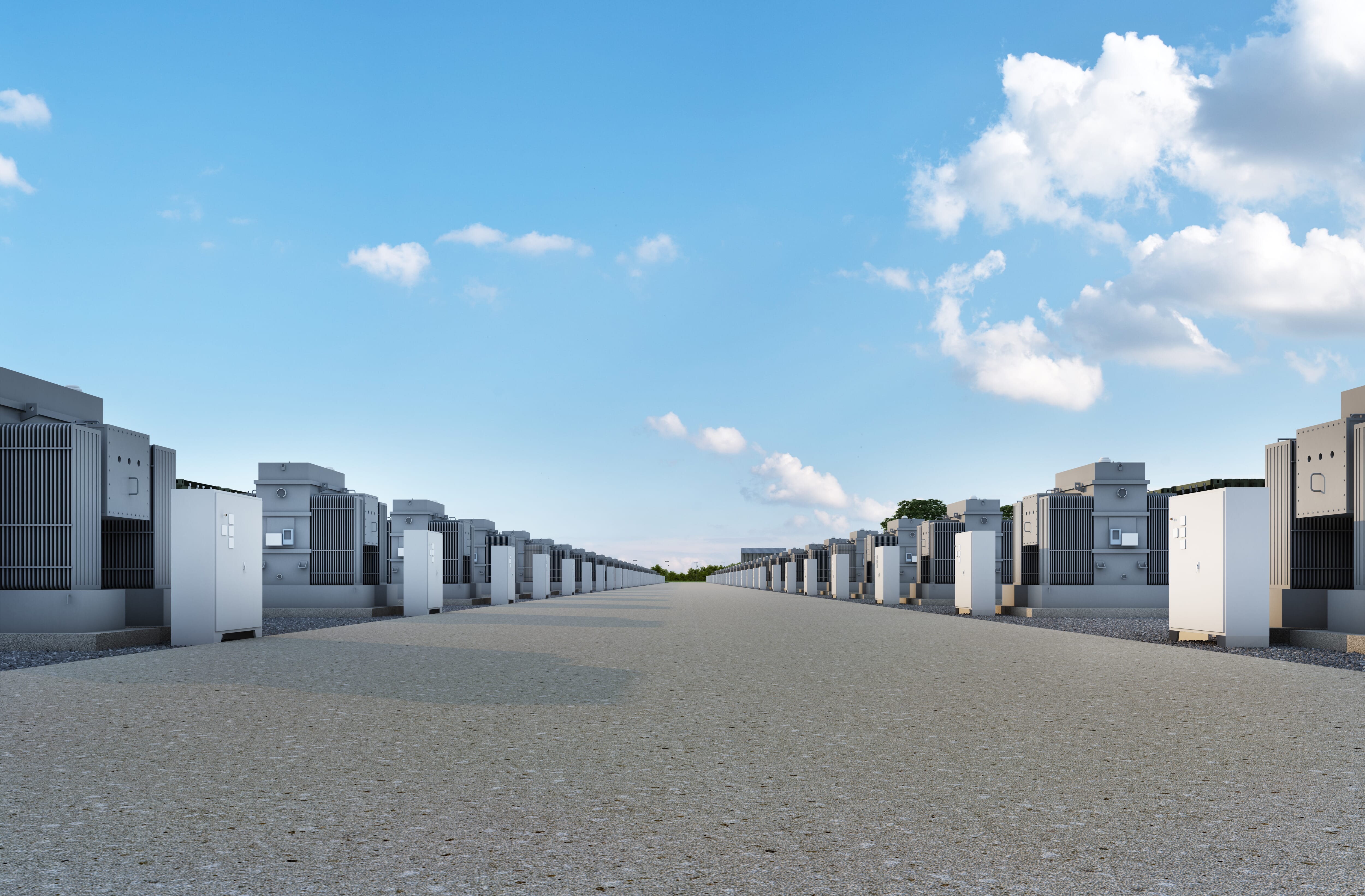
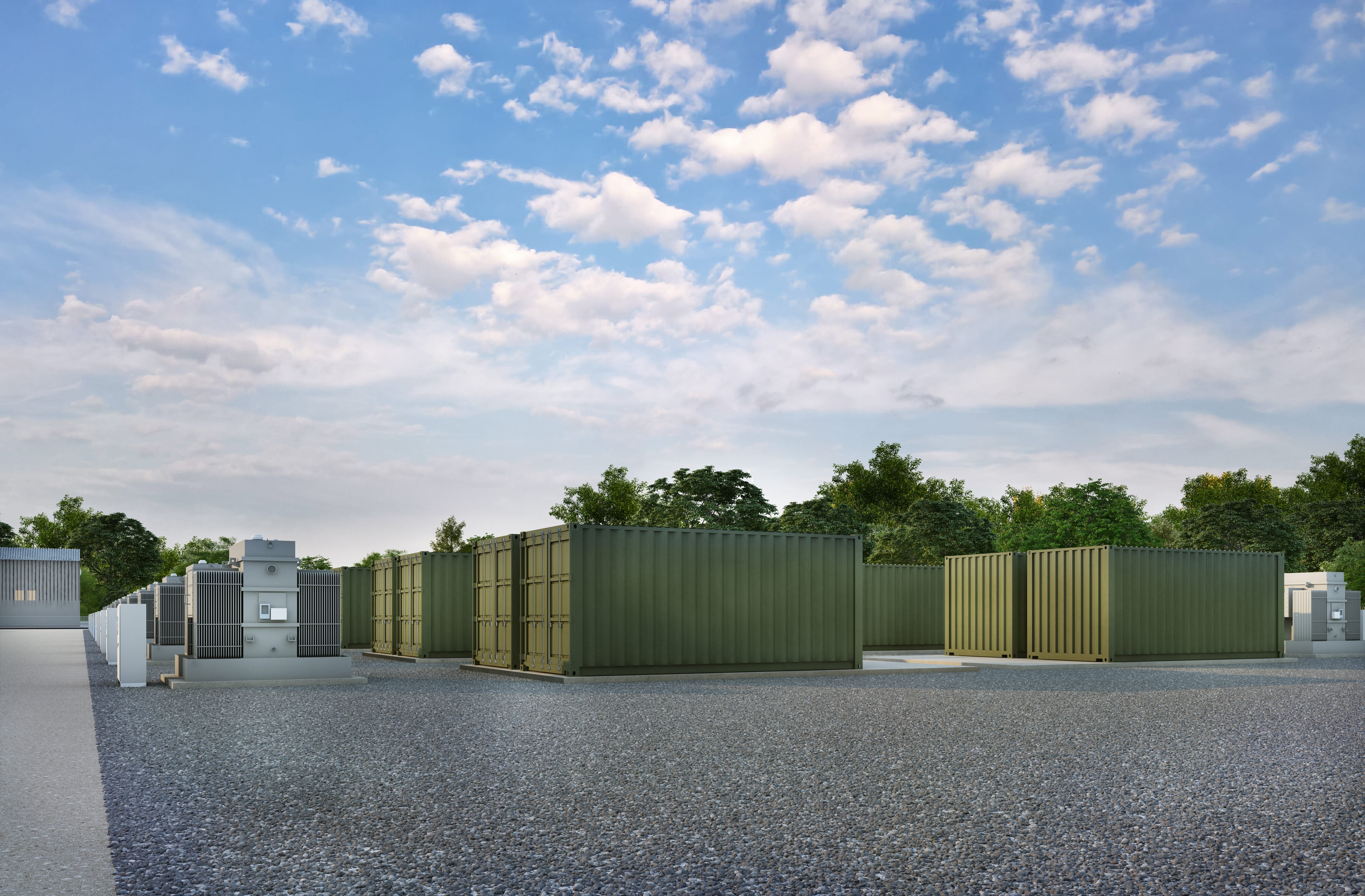
Noise
We are preparing a Noise Impact Assessment of the site, which has identified the closest noise sensitive receptors and has been informed by background noise monitoring. The assessment identifies that the proposed development will give rise to rating sound levels that do not exceed the measured background sound level in the area during the day and night, and are therefore acceptable.