Transport
All construction traffic will route via Junction 13 of the M5 Motorway, before accessing the site via the A38 Bristol Road and then Bath Road.
The planning application will be supported by a Construction Traffic Management Plan that will include a range of measures to reduce the effect of construction vehicles on the local highway network.
Archaeology & Heritage
Following a geophysical survey and archaeological trenching, areas of significant archaeology have been confirmed and potential impacts will be mitigated.
Ecology
An initial Extended Phase 1 Ecology Habitat survey was completed at the site followed by badger, Great Crested Newt, otter, water vole, breeding and wintering bird surveys. These surveys have influenced the site design and are detailed in the Ecology Impact Assessment. A Biodiversity Net Gain (BNG) assessment completed for the proposals demonstrates that the site will deliver a BNG gain in excess of the 10% required by the Environment Act 2021.
Agricultural Land
A site-specific agricultural land classification survey has been completed, which confirms that most of the site is classified as Grade 3b land, with a smaller area of Grade 3a also present.
Arboriculture
An arboricultural survey was completed to ensure root protection zones are avoided in the site design and therefore any potential impacts to existing trees prevented. Appropriate mitigation measures will be adopted during construction, such as a no-dig construction methodology for the internal access tracks where appropriate and protective fencing. Some small sections of hedgerow will be removed and replaced, and there is no requirement to remove any trees.
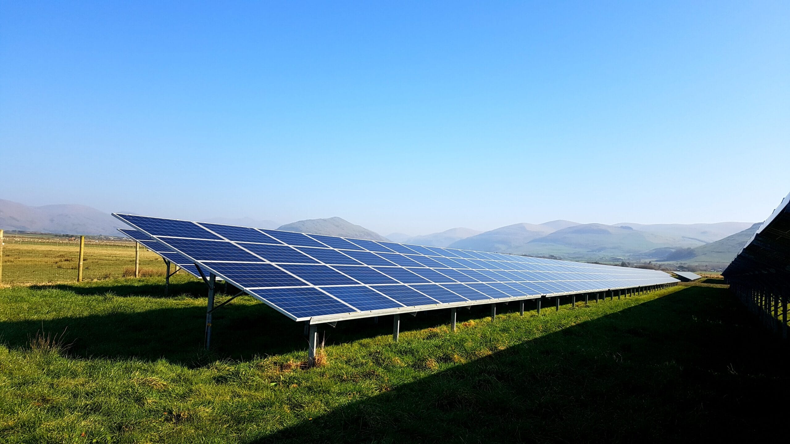
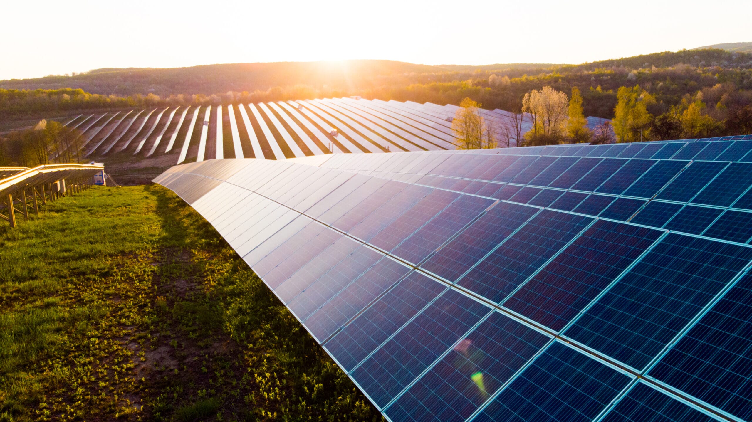
Landscape and Visual
The development area is identified as having the lowest landscape sensitivity for large solar farms within Stroud District Council’s Renewable Energy Resources Assessment.
Following an initial landscape appraisal, the development has been focused towards the M5 motorway to increase the distance from The Cotswolds AONB, whilst the largest pieces of equipment have also been sited to reduce visual impacts.
A full Landscape and Visual Impact Assessment (LVIA) has been prepared which details the landscape impacts and proposed mitigation. A Landscape and Ecological Management (LEMP) plan sets out how the proposed ecology and landscape enhancements will be managed over time.
A selection of viewpoints have been included below showing the approximate extent of the proposed development.
Viewpoints Plan
View Point A
View Point B